The South America: Waterways (50) is a category.geography Montessori material designed for children aged 3-6, crafted by Nienhuis Montessori to AMI standards.
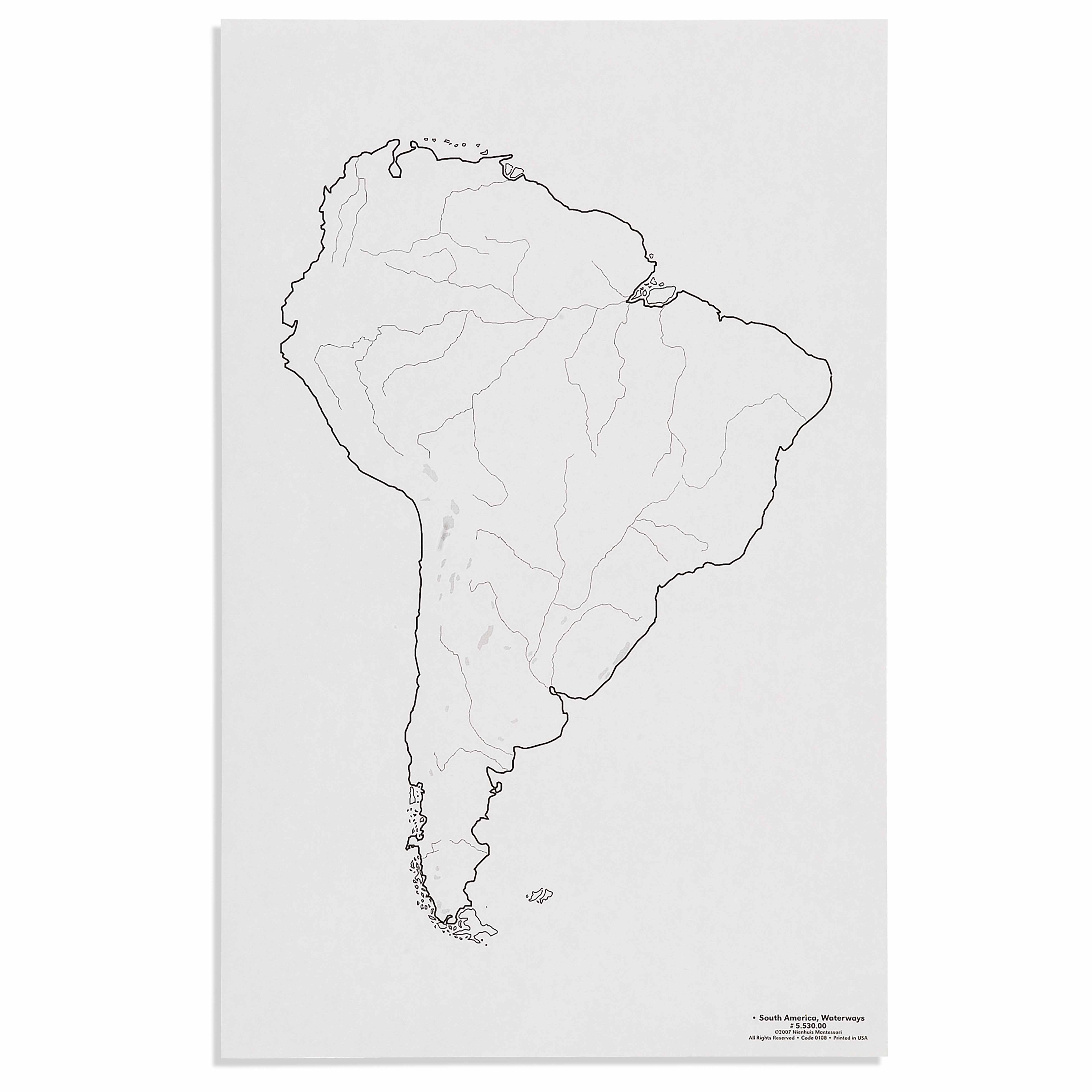
This detailed laminated map presents South America's complex river systems, allowing children to trace the continent's major waterways from the Amazon to the Paraná. The clear visual representation helps young learners understand how rivers connect regions and shape the continent's geography, supporting the Montessori approach to concrete geographical learning.
“Education is a natural process spontaneously carried out by the human individual, and is acquired not by listening to words but by experiences upon the environment.”— Maria MontessoriEducation for a New World
“The child is both a hope and a promise for mankind.”
— Maria Montessori, Education and Peace
The South America Waterways map introduces children to the continent's river systems through visual exploration of blue lines tracing from source to sea. This laminated geography map meets the young child's need to understand their world through concrete, touchable representations rather than abstract concepts. Each waterway on the map—from the mighty Amazon to the winding Paraná—provides a pathway for the child's finger to follow, transforming geographical learning into a sensorial experience. The map's clear visual design allows children to discover how rivers create natural boundaries, connect distant regions, and flow toward the ocean. By presenting South America's waterways as a complete system, this geography material helps children grasp the interconnectedness of natural features. The laminated surface invites repeated exploration, as children return to trace familiar rivers and discover new tributaries, building their mental map of the continent through direct interaction.
Each order includes everything needed for proper presentation and long-term use.
Follow the Montessori method of presentation for optimal child development.
Invite the child to explore the map, starting by locating the ocean (Atlantic and Pacific)
Choose one major river (suggest starting with the Amazon) and trace it with your finger from source to mouth
Identify and trace 2-3 other major rivers, comparing their lengths and directions
Explore how rivers create natural boundaries between regions
Every material is carefully selected for durability, safety, and authentic Montessori experience.
Sourced from sustainably managed European forests. Beechwood is chosen for its exceptional durability, smooth grain, and natural warmth that invites touch.
Natural, unbleached cotton in child-friendly colors. The fabric provides the right amount of friction for developing fingers while being gentle on sensitive skin.
Water-based, child-safe finish that meets the strictest European safety standards. Designed to withstand years of daily use without chipping or peeling.
Each material supports multiple areas of child development simultaneously.
Develops awareness of how water systems shape continents and connect different regions.
Enhances ability to trace and differentiate between various river systems and their tributaries.
Introduces the concept of how waterways influence human settlement and civilization development.
Builds understanding of directional flow and geographical relationships between water bodies.
Designed for child-sized hands
Professional tips from AMI-trained guides to maximize the educational value of this material.
“Present this map after children are familiar with land and water forms in the sensorial area”
Connect river study to the water cycle work in science to show how rain creates rivers
Use this map alongside continent boxes to show how rivers influence vegetation and animal life
Create matching cards with river names to extend into language work
Everything you need to know about this material.
This laminated map displays South America's major river systems including the Amazon, Paraná, Orinoco, and Magdalena rivers, along with their tributaries. The map clearly shows how these waterways flow through different countries and connect various regions of the continent.
The map provides concrete visual learning through clear, simplified representations of waterways that children can trace with their fingers. This hands-on approach aligns with Montessori principles by allowing children to physically explore geographical concepts and understand the relationship between water systems and land.
The map features bold, clear lines for easy river identification, durable lamination for repeated handling, and age-appropriate detail levels that don't overwhelm young learners. The visual simplicity helps children focus on understanding major waterways without unnecessary complexity.
Children can trace rivers with their fingers, identify where rivers begin and end, match river names to their locations, and explore how waterways connect different countries. Teachers can incorporate water cycle discussions, talk about river importance for communities, and use it alongside puzzle maps for comprehensive learning.
Yes, this waterway map complements other Montessori geography materials including political maps, puzzle maps, and landform models. It's designed to work within the complete Montessori geography sequence, building upon children's understanding of continents, countries, and physical features.
Can't find what you're looking for?
Contact Our Experts
Share your experience with this material and help other educators and parents.


