The South America: Outline (50) is a category.geography Montessori material designed for children aged 3-6, crafted by Nienhuis Montessori to AMI standards.
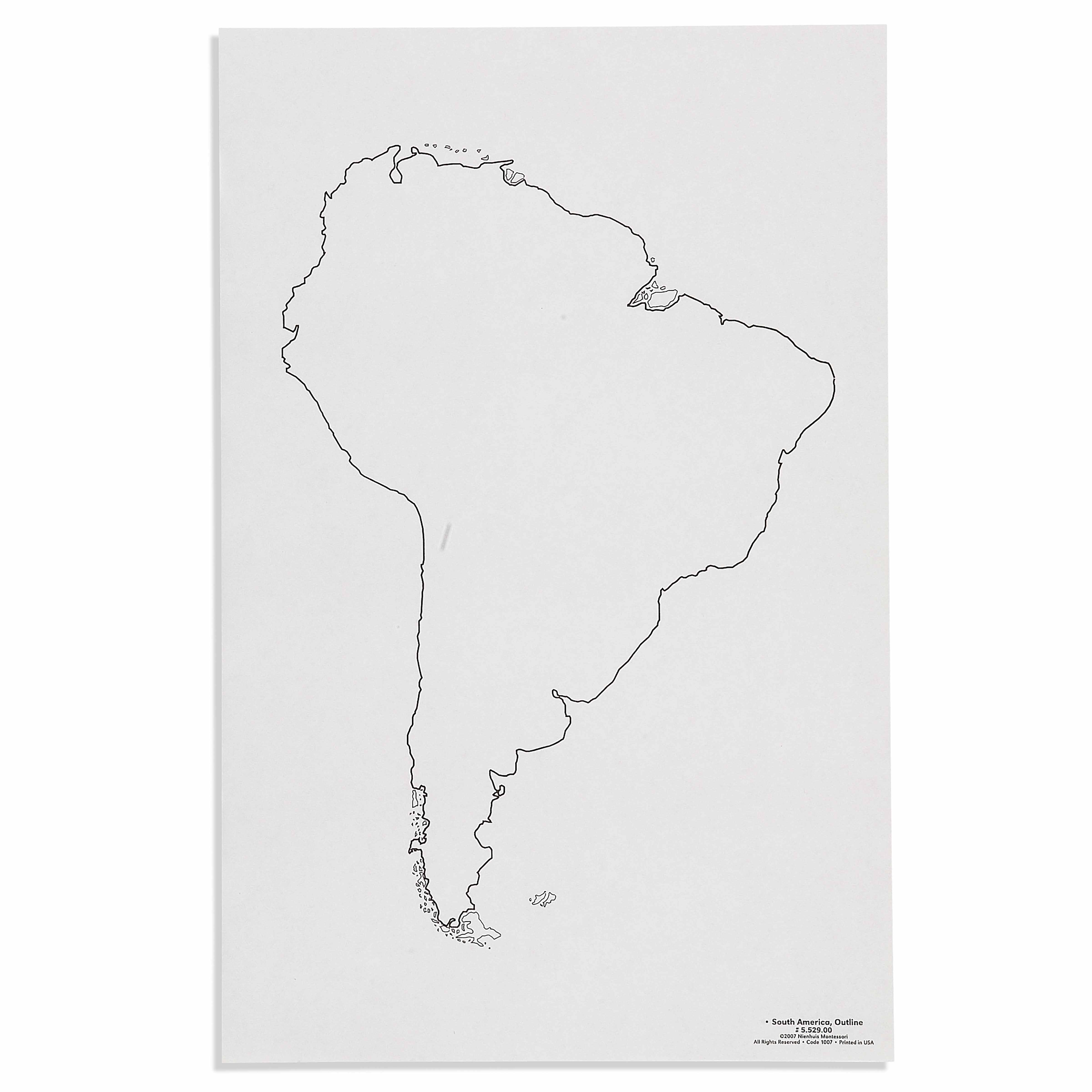
This set of 50 South America outline maps provides essential materials for Montessori geography lessons, allowing children to trace, color, and label the continent while developing their understanding of geographical boundaries. The paper-based maps offer repeated practice opportunities for pin-punching activities, artistic exploration, and creating layered geography work that builds spatial awareness and fine motor control.
“Education is a natural process spontaneously carried out by the human individual, and is acquired not by listening to words but by experiences upon the environment.”— Maria MontessoriEducation for a New World
“The child is both a hope and a promise for mankind.”
— Maria Montessori, Education and Peace
The South America outline maps serve as a bridge between the child's sensorial exploration of the globe and their abstract understanding of continental boundaries. Each paper outline provides a concrete representation that children can manipulate through tracing, coloring, and pin-punching activities. The 50 identical maps allow for repetition, enabling children to refine their movements and deepen their geographical knowledge through multiple experiences. Unlike puzzle maps that present pre-formed boundaries, these outline maps require children to actively construct their understanding of South America's shape through their own hand movements. The paper material invites creative exploration while maintaining the precision necessary for accurate geographical representation. Through working with these outlines, children develop both the fine motor control needed for writing and the spatial awareness fundamental to understanding their place in the world. The maps transform abstract continental boundaries into tangible experiences that children can create and recreate, building confidence through mastery.
Each order includes everything needed for proper presentation and long-term use.
Follow the Montessori method of presentation for optimal child development.
Invite the child to trace the outline of South America with their finger, starting at the northern coast of Venezuela
Demonstrate tracing the outline with a colored pencil, maintaining consistent pressure
Show pin-punching along the traced outline, working systematically around the continent
Remove the punched outline and place it over a fresh map to compare accuracy
Every material is carefully selected for durability, safety, and authentic Montessori experience.
Sourced from sustainably managed European forests. Beechwood is chosen for its exceptional durability, smooth grain, and natural warmth that invites touch.
Natural, unbleached cotton in child-friendly colors. The fabric provides the right amount of friction for developing fingers while being gentle on sensitive skin.
Water-based, child-safe finish that meets the strictest European safety standards. Designed to withstand years of daily use without chipping or peeling.
Each material supports multiple areas of child development simultaneously.
Children develop understanding of continental shapes and boundaries through repeated tracing and coloring work.
Pin-punching and precise coloring within borders strengthen hand control and pencil grip.
Open-ended format allows children to add their own details, colors, and labels to personalize their geography work.
Completing detailed map work requires sustained focus and attention to boundaries and shapes.
Designed for child-sized hands
Professional tips from AMI-trained guides to maximize the educational value of this material.
“Store maps in sets of 10 for easy distribution during group lessons or individual work periods”
Introduce the Isthmus of Panama as a key landmark for orienting the continent correctly
Use completed outline maps as templates for three-part card matching activities
Laminate one finished map as a control chart for children to check their work
Everything you need to know about this material.
These maps are designed in standard A4 size, making them perfect for children ages 3-6 to work with comfortably at tables or on floor mats during geography lessons.
Yes, these paper-based outline maps are specifically designed for pin-punching activities, helping children develop fine motor skills while learning the shape of South America through tactile exploration.
Absolutely! The outline format allows children to color countries, add labels, and create their own customized South America maps as part of their geography work and artistic exploration.
This set includes 50 identical South America outline maps, providing ample opportunities for repeated practice, multiple children to work simultaneously, or various geography activities throughout the year.
These maps pair excellently with Montessori puzzle maps, colored pencils, push pins and cork boards, label makers, and atlases for comprehensive geography lessons about South America.
Can't find what you're looking for?
Contact Our Experts
Share your experience with this material and help other educators and parents.


