The Seas And Oceans: Labels is a Educational Materials Montessori material designed for children aged 3-6, crafted by Nienhuis Montessori to AMI standards.
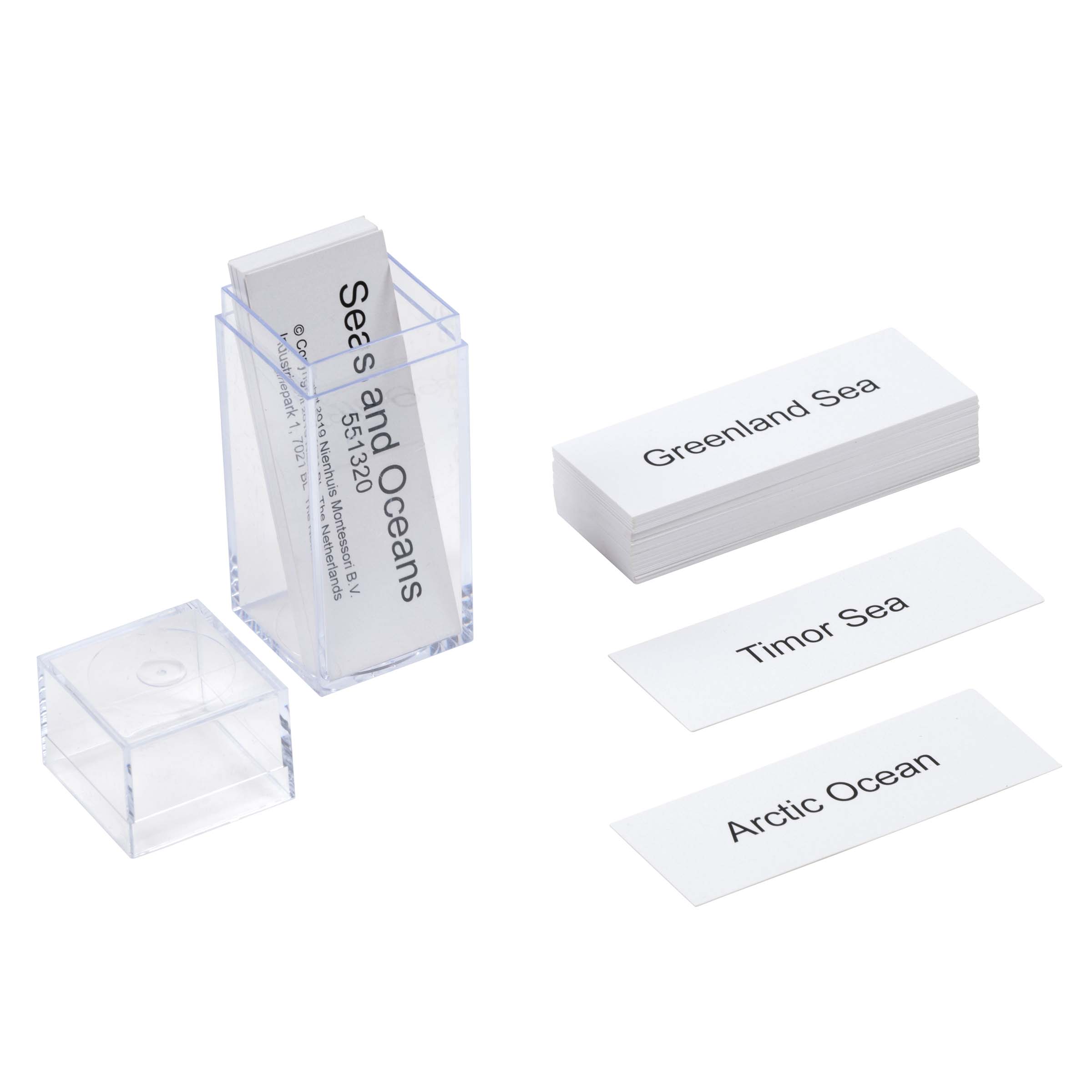
These Geography Label Cards introduce children to the world's major seas and oceans through clear, readable nomenclature cards. The transparent acrylic holder elegantly displays each label while maintaining the prepared environment's aesthetic. Perfect for elementary geography lessons, these cards support the Montessori approach to teaching Earth's water bodies through concrete, manipulable materials.
“The child is both a hope and a promise for mankind.”— Maria MontessoriEducation and Peace
“The hands are the instruments of man's intelligence.”
— Maria Montessori, The Absorbent Mind
The Seas and Oceans Labels fulfill Maria Montessori's vision of cosmic education by providing concrete nomenclature cards that connect children to Earth's vast water systems. Each label card transforms abstract geographical concepts into tangible learning tools that children can hold, arrange, and manipulate. The clear, readable text on these geography cards respects the child's developing literacy while the transparent acrylic holder maintains visual order in the geography area. These nomenclature cards bridge the gap between the child's immediate sensorial experiences with water and the grand scale of Earth's oceans. By presenting seas and oceans as distinct, nameable entities through these labels, children develop a mental framework for understanding global water distribution. The physical act of placing each label cultivates both geographical knowledge and fine motor precision, while the elegant presentation in the acrylic holder demonstrates how beauty and function unite in the prepared environment.
Each order includes everything needed for proper presentation and long-term use.
Follow the Montessori method of presentation for optimal child development.
Invite the child to explore the label cards, removing them one by one from the holder
Present three labels using the three-period lesson: 'This is the Pacific Ocean'
Place each label on or near its corresponding location on a floor map or table map
Encourage the child to match all labels independently to map locations
Return labels to the acrylic holder in an agreed-upon order
Each material supports multiple areas of child development simultaneously.
Introduces fundamental concepts of Earth's water bodies through concrete materials that children can manipulate and organize.
Supports early literacy through clear, readable labels that connect written words with geographical concepts.
Encourages systematic thinking as children learn to distinguish between different types of water bodies.
Builds foundation for global awareness by introducing the major seas and oceans that connect our continents.
Designed for child-sized hands
Professional tips from AMI-trained guides to maximize the educational value of this material.
“Introduce labels gradually, starting with the five major oceans before adding seas”
Connect label work to cultural studies of coastal countries and maritime traditions
Use the transparent holder to create rotating displays highlighting different regions
Integrate these labels with continent boxes and flag work for comprehensive geography lessons
Everything you need to know about this material.
This set includes labels for the world's major oceans (Pacific, Atlantic, Indian, Arctic, and Southern) as well as significant seas such as the Mediterranean, Caribbean, Baltic, and others. The cards cover the primary water bodies children learn about in elementary geography studies.
The transparent acrylic holder provides an elegant display system for the nomenclature cards, allowing children to clearly see and read each label. It keeps the cards organized and easily accessible while maintaining the aesthetic of the Montessori prepared environment.
These labels are designed for children ages 3-6, though they can continue to be useful in elementary classrooms. They align with the Montessori curriculum's introduction to geography and support children's growing understanding of Earth's water bodies.
These labels work perfectly with puzzle maps, globe materials, and water-land form trays. Children can match the labels to locations on maps, use them for three-part card lessons, or incorporate them into research projects about different water bodies.
Children develop geography vocabulary, reading skills, and spatial awareness. They learn to identify and name major water bodies, understand their locations relative to continents, and build a foundation for more advanced geography studies.
Can't find what you're looking for?
Contact Our Experts
Share your experience with this material and help other educators and parents.

