The Australia: Outline (50) is a category.geography Montessori material designed for children aged 3-6, crafted by Nienhuis Montessori to AMI standards.
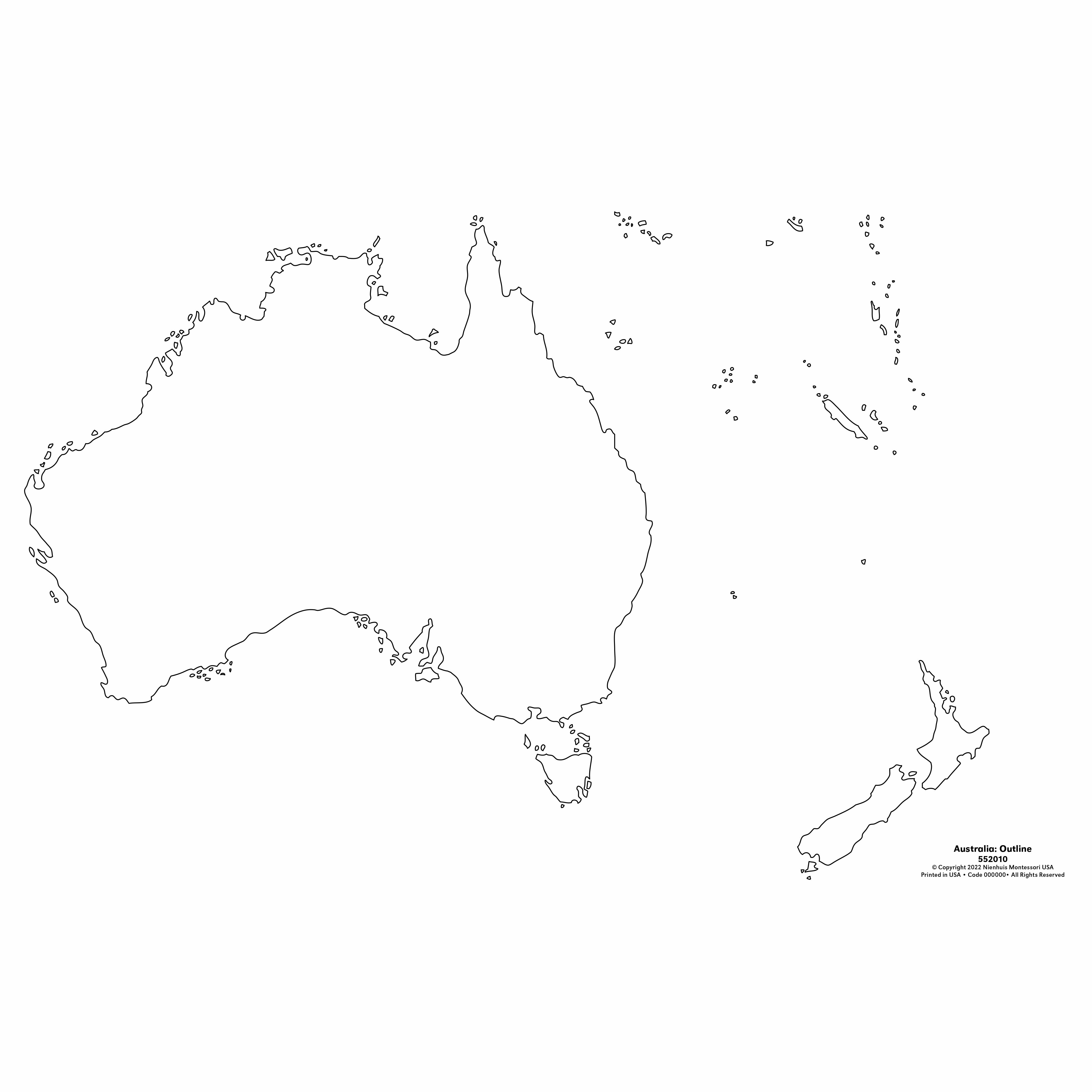
This outline map of Australia provides children with a clear, uncluttered representation of the continent's distinctive shape, including mainland Australia, Tasmania, and surrounding islands. Designed for the Montessori geography curriculum, this set of 50 identical maps supports activities like pin-punching, tracing, and creating booklets, allowing multiple children to work simultaneously or enabling extended projects throughout the year.
“Education is a natural process spontaneously carried out by the human individual, and is acquired not by listening to words but by experiences upon the environment.”— Maria MontessoriEducation for a New World
“The child is both a hope and a promise for mankind.”
— Maria Montessori, Education and Peace
The Australia Outline Map introduces young children to the continent's unique shape through repeated, hands-on exploration. These 50 identical outline maps allow children to internalize Australia's distinctive form - the broad western expanse, the pointed Cape York Peninsula, and the separated island of Tasmania. Each outline presents Australia as an isolated shape, free from political boundaries or geographic features, enabling children to focus purely on the continental form. The multiple copies accommodate the child's need for repetition, a cornerstone of learning between ages 3-6. Through tracing, pin-punching, and coloring these outlines, children develop a mental map of Australia that becomes the foundation for later geographic study. The simple outline format respects the young child's need for clarity and order, presenting one concept at a time - first the shape, then later the states, cities, and physical features. These paper maps transform abstract geographic knowledge into concrete, manipulable experiences that match the sensorial learning style of the early childhood years.
Each order includes everything needed for proper presentation and long-term use.
Follow the Montessori method of presentation for optimal child development.
Invite the child to trace around the outline with their finger, starting at Cape York and moving clockwise around the continent
Demonstrate tracing the outline with a pencil, showing careful attention to the coastline's curves and angles
For pin-punching, show how to place the map on a cork board and punch along the outline at regular intervals
Color the land area, leaving the water white, or create inverse maps with blue water
Every material is carefully selected for durability, safety, and authentic Montessori experience.
Sourced from sustainably managed European forests. Beechwood is chosen for its exceptional durability, smooth grain, and natural warmth that invites touch.
Natural, unbleached cotton in child-friendly colors. The fabric provides the right amount of friction for developing fingers while being gentle on sensitive skin.
Water-based, child-safe finish that meets the strictest European safety standards. Designed to withstand years of daily use without chipping or peeling.
Each material supports multiple areas of child development simultaneously.
Children develop spatial understanding of Australia's unique continental shape and its relationship to surrounding islands and landmasses.
Pin-punching and tracing activities strengthen hand muscles and refine pencil grip essential for writing preparation.
The precise nature of outlining and pin-punching work develops sustained attention and careful, methodical work habits.
Repeated work with the map builds familiarity with Australia's geography, supporting broader cultural and environmental studies.
Designed for child-sized hands
Professional tips from AMI-trained guides to maximize the educational value of this material.
“Store completed outline work in individual geography folders to track each child's progress throughout the year”
Introduce one activity at a time - master tracing before moving to pin-punching
Connect outline work to the continent box and puzzle map of Australia for multi-sensory learning
Use the maps for group projects, allowing children to create collaborative Australia displays
Everything you need to know about this material.
These outline maps are sized appropriately for young children ages 3-6, typically measuring around A4 or Letter size to provide ample space for tracing, coloring, and pin-punching activities while being manageable for small hands.
Yes, these Australia outline maps are specifically designed for pin-punching exercises. The paper weight is ideal for this classic Montessori activity, allowing children to punch along the coastline to create a perforated outline of Australia.
The maps include mainland Australia, Tasmania, and surrounding significant islands, providing children with a complete geographical representation of the Australian continent and its major land masses.
With 50 identical maps included, multiple children can work on geography activities at the same time, making this ideal for classroom settings where several students may be exploring Australian geography concurrently.
Children can use these maps for coloring activities, creating geography booklets, labeling states and territories, marking capital cities, adding geographical features, making flag pins, and conducting research projects about Australian wildlife and landmarks.
Can't find what you're looking for?
Contact Our Experts
Share your experience with this material and help other educators and parents.


